WHEN: +iCal
Sat 20th June 2026 09:00 - 14:42WHERE:
Whapping Wharf Whapping Wharf, Museum St Bristol, BS1 6UD| Type: BP |  |
| Award Distance: 50 | Total Distance: 57km |
| Duration: 5h42 | Speeds: 10-20kph |
| Climb: 368m | AAA: 0.00 Rainbow Flat |
BRIEF:
The North Somerset Stroll starts from the lovely Bristol harbourside and follows traffic-free paths and quiet lanes towards Clevedon and back via a “lost lane” and the Pill riverside path. This route is about half car-free and so very suitable for families, with a generous time limit.
The North Somerset Stroll takes you on a family-friendly jaunt down towards the coast and back through the Avon gorge.
Description:
Heading off from the colourful Bristol harbourside you follow the largely traffic-free Festival way towards Nailsea. Then quiet lanes through the North Somerset levels take you to the Owl in the Oak cafe at Kingston Seymour. Turning round, a delightfully quiet lane leads to Pill and back into Bristol on the riverside path through the Avon gorge, for a new perspective on the Suspension Bridge! Ending up back at the harbourside, a short distance from where you started.
About half of this ride is on segregated/traffic free routes which makes it very suitable for younger/newer riders.
Caution: Some paths are unpaved but are maintained and suitable for all bikes.
Finish:
The finish is a short distance away at the western end of the harbour.
Like or loath* it? Log in to let others know.
What others think.
Beautiful and brutal
A wonderful ride – some of the roads and gravel sections are the best I’ve ridden, as stated below, a masterpiece.
But as Will explains, there are a LOT of hills. As a BP it would be a lovely tour, as an RM it is as tough as it gets. For anyone contemplating it, I suppose comparing to LEL is the best way – I was a 101hr LEL and a 167hr BGB (though carrying an injury). Remember how we all whinged about the St John’s Chapel climb in 2022? Well BGB felt like 1000 miles of that climb! But Oh, the views and descents were worth it!!
An experience I will always treasure and memories that will last a lifetime.

The best long weekend of cycling in the UK - PPP222
I can’t recommend this event highly enough. Stunning scenery, challenging and rewarding route, fabulous controls and time to take it all in without worrying about the clock. The set up at Kings works really well and it was a real luxury to have a bed for 2 nights. Thanks to Will and all the volunteers who made this such an exceptional event.

Pauline Porter and the amazing welsh weather
The new 3 day option isn’t easy, but was always the right side of enjoyable, even with the +2000m or so of climb over the BCM. Definitely a great 3 days on the bike, lots of new (to me) roads. Also the bonus of no sleep deprevation and only modest teeth grinding on Gospel pass. Kudos to all the endlessly cheerful volunteers who gave up their time.

As good as it gets
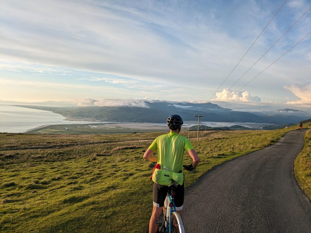
There are two events every Randonneur should ride; PBP and the Bryan Chapman Memorial, this is without doubt the best 600km event I have ridden. A few main roads to make efficient progress in group riding for the first 200km, then the hills start, and every hill rewards the rider with a spectacular view. Most of the energy is returned to the rider on the descents which are glorious, not much wasted in excessive braking. All of Wales in a day, and then back again the next day. Controls are good with not much waiting around for food. The return leg is more testing that it used to be, but avoids sharing the main roads with motorbike clubs on a Sunday afternoon.
Machynleth, Harlech beach, Pen-y-Pass, Menai Bridge, Gospel Pass Tintern Abbey. You will not find a more scenic event, hopefully you will still have enough in the legs to climb the gospel pass after 530km



A challenge has to take you outside your comfort zone.
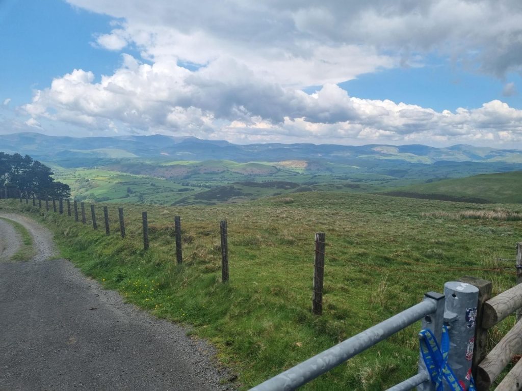
If this was a flat 600km I would have been happy with getting up and down from Bangor but it wouldn’t have been a challenging ride. The BCM 2024 was a challenge, at least for me, and I’ll be honest, at the time I was incredulous at what we were being asked to climb, but after the fact, and this was perhaps no more than one hour after we finished, possibly as the endorphins kicked in I was elated and knew for certain that I’d never forget this ride – my first BCM. I would seriously suggest that you enter Brevet Cymru (400km) a couple of weeks prior because as well as being a ‘hilly’ warm up it will, if you are a beginner as I was myself, give you experience of riding at night and testing your nutrition strategy. For me Brevet Cymru was invaluable, because it made me change my gearing to one more suitable for hilly terrain, 50/34 up front and 11-34 out back, stock up on gels, and sorted out which lights to use for night riding. It also gave me the confidence to know i could make the sleep control at around 390km. Anyway, for BCM2024 we were blessed with the weather, I just needed arm warmers and a light jacket in the night to keep warm. The route as many will tell you is pretty flattish until Llanidloes when it starts to go up with several steep pitches, especially at Llyn Clewedog and Kings Youth Hostel. If your gearing allows you to turn the cranks within your Z3/4 power output you’ll be fine. Getting to Pen-y-Pass near Snowden is awesome as then is reaching Menai Bridge. Slower riders like myself then left for the final ‘night riding’ leg to Aberdyfi which involves some climbing, but ironically its welcome as it keeps you warm. I slept at Aberdyfi for 2-3 hours, having a drop bag was invaluable as i kept a sleeping bag and gels in it plus the toothbrush. Out in the morning at 6am and i was greeted by the rolling mist receding out to sea revealing a magical seascape dotted with boats, it was genuinely a thrilling moment and the one that i’m happy I had the privilege to see. It’s only just over 200km to the finish, but by God it isn’t easy, and I’ll say it again, I’m glad it wasn’t, I feel a better person for having overcome this challenge. The very best part was meeting other riders. I latched onto someone virtually from the the first climb out of Chepstow and we stayed together for the whole ride, alternatively chatting or just zoning into our task, him climbing ahead, me catching up on the descents, waiting for each other, or stopping when the other needed a rest. Hand on heart `i don’t think I could have finished the ride without ‘Tony’ just being there. The other riders were similarly helpful and full of encouragement.
Finally, the organisation was spot on, not overbearing but offering all you needed to help you on your way.
I coming back. I leant a heck of lot about myself, my equipment, how to paperboy (!!!), and I want to put these to the test, apart from the paperboying, again next year.


- This event is run in accordance with the event type's terms & conditions and insurance cover provided by the respective body.
- Entries are taken off this site and your personal details handled there.
You are attending this event.
The following ride details are currently:
Pending - all specifics are usually updated the 5th day before the event.
- Please flick through the following tabs fully and make any preparations before the event.
- Route files & links will be found under the 'Route' tab.
- The event/route specific information will be finalised usually the Monday before the event and you will get an email reminder 3 days prior from [email protected] - add it to your address book to save any disappointment.
- Should you be unable to attend the event I have enabled cancellation from 'My Bookings'. This will aid me in keeping controls informed as to how many to expect and also reduce wastage when printing the brevet cards. Remember there is no option to refund or transfer if you are unable to attend.
- You will receive your brevet card at the start. Should you start the ride and be unable to finish my phone number is within; please drop me a text with your full name to let me know you won't be finishing so volunteers and myself aren't waiting around longer than necessary at controls and the finish.
- Please use 'Enquires' link above for any queries.
New to audax? Have a look at Audax UK's About for an overview & FAQs for commonly asked questions.
- Until the route is finalised the interactive map above will give you an idea of where you are going.
- It is advisable to study the route notes prior to the event for further details; especially if you are just using a GPX breadcrumb trail to navigate. These are also the 'cuesheet' within the RWGPS route; zoom the map to your desired level, click on a cue and it will focus the map at that cue.
- Every effort is made to identify road closures before the event and provide alternatives where necessary; however I can not account for any emergency closures that are required.
- A variety of surfaces may be encountered, some may be as smooth as a baby's bum, others potholed nightmares, or somewhere in between; if any unmetalled sections are used this will be noted in the Event Info above and now visible as 'unpaved' within RWGPS.
- I do my utmost to select low traffic routes but there may be times busier sections are required.
- Mudguards aren't mandatory but if you can fit them why wouldn't you?
- I would always recommend a set of lights as you never know what could happen.
- Similarly consider carrying 2 space blankets; they cost nothing, are tiny, and can keep you and an other warm should the unfortunate happen.
EXTRA DETAILS:
Usually updated the 5th day before the event - the event, route and file (other than 'Key') links will be dead links until this time.Route Files:


CSV route notes - these can be edited in any spreadsheet software.

PDF route notes - a version with maps is available in linked RWGPS route (no account necessary to use the official PDF - use 'More v') or the event.

GPX with control waypoints - if re-uploading to an online planner please make private so as not to confuse others in the future - use this tool to split at waypoints and/or simplify.
RWGPS Links:

RWGPS Event - at least a free account needed but you will get full premium features, including offline maps & voice nav for the app, regardless of your subscription level. To sync to your device (Wahoo, Garmin Edge) you need to join this first.

RWGPS Route - no account needed but you will lack a few advanced features such as early turn warnings.
See the RWGPS App for my tips to use your phone for navigation and maximising battery life.
Troubleshooting:
- Can't copy the RWGPS route to your account? I have disabled this so should any changes be necessary there is the one correct version.
- I do not provide technical services for your device having never used anything other than the RWGPS app.
- Can't add it to Garmin Connect? It isn't an activity. Transfer it to your Garmin via USB.
- Can't send to your device? Join the RWGPS event.
EXTRA DETAILS:
Usually updated the 5th day before the event.Start:
Please arrive at least 10 minutes before the depart time to collect your brevet card.
Whapping Wharf - opens new tab for map. Whapping Wharf, Museum St, Bristol, BS1 6UD
Access:
- Bike - Centrally located and easy to get to.
- Car - Follow signs for the 'M Shed' from most major routes in to the city.
- Train - A short distance from Bristol Temple Meads.
Parking: Car Park - Various local car parks and on street parking - PAID. Be aware these are within Bristol's CAZ - more details here.
Food & Drink: Food & Drinks available. The start is adjacent to New Cut Coffee. Unless specified otherwise above.
Accommodation:
- Bristol YHA is a short distance away.
- Local Hotels.
Finish:
As above. - opens new tab for map & a few details.
Route Controls:
Usually updated the 5th day before the event.
This is what 'audax' is all about. Travelling between controls to collect proof of passage (PoP) to prove you have cycled the distance. The above controls are found in your brevet card, the route notes, as POIs with the route, and waypoints with the GPX. Your brevet card it to be filled out as you progress around the route. PoP is obtained in several ways. It is highly recommended you carry a pen or pencil to fill your brevet card as you go; if it is a long event numbering any receipts to correspond with the control number will save you time later, then keeping them in order is next level!
Types of control:
- CONTROL - a place or venue where you obtain PoP which can be done in several ways. You will be able to get food and/or drink, also WC will be available.
- Manned - a volunteer or venue member of staff will stamp your card providing PoP. All controls are thus unless specified as...
- Free - you must obtain PoP from that place that has a time and date, usually a receipt from a cafe, shop or ATM.
- INFO - a question found in your brevet card that is relevent to the location needs to be answered and recorded.
- CHECKPOINT - similar to a control but there may not be any facilities present.
- SECRET - now that would be telling wouldn't it!
USING YOUR PHONE & RWGPS APP:
I use the RWGPS app on my phone to navigate audax events by using spoken cues, I also use it to route check and proof my route notes. This IMHO is the best of all worlds. I don't need to look at a screen (but I can check if I want), I get clear directions when needed (you may need to get used to my shorthand which gets spoken as such), I get a warning if I'm off route, the battery lasts a lot longer than constantly using the screen; especially nowadays as phone batteries are getting bigger plus many are able to rapid charge in a short amount of time. All you need is a good case and mount for inclement weather.
- Install the app.
- Join the event.
- Go to the route.
- Send to device.
- Open app and confirm download.
- In settings (exact location varies depending on iOS or Android) to optomise for best battery use:
- Logging - adjust interval: every 10s is best for the battery, logs your ride but won't get you any KOMs; every 1s uses 10x more battery power to write data but may get you a KOM if you pedal quick.
- Navigation - Spoken alerts ON | Off-course alerts ON | others at your discretion.
- Handlebar mode ENABLED - this will keep RWGPS above any screen lock so you can recall it if needed by pressing power button or similar.
- Handlebar mode - Screen OFF for cues | Proximity Wake OFF (otherwise changes in light will turn the screen on) | Keep screen on NEVER.
- Offline mode ENABLED - when you start riding.
- Better still use flight/aeroplane mode whilst riding.
- You can adjust the text-speech settings via your phone settings; the type of voice, playback speed etc.
Most of the battery drain on a phone is from the screen. By using voice commands you eliminate this but can still view the map if needs be. The second biggest drain whilst cycling is the phone itself searching for a signal as you move between cell towers; putting the phone into flight/aeroplane mode whilst moving solves this problem; you can easily turn data back on to #tag that #CAKE at the next stop!
ANDROID:
Make sure battery optimisation is turned off otherwise Android will recognise RWGPS as an excessive battery drain and can limit its functionality. This will be particularily evident if you stop for a bit without GPS signal then continue; the app will appear to be functioning correctly but Android will limit it and data can be lost from the stop point until the app is restarted. There may be a similar feature in iOS.
- Settings >Apps.
- Find RWGPS and expand Advanced >Battery.
- If it says optomised then select and wait for all apps to load.
- Make sure the apps displayed are 'All apps', find RWGPS and select.
- Select 'Don't optimise'. Exit settings.