WHEN: +iCal
Sat 20th June 2026 09:00 - 14:42WHERE:
Whapping Wharf Whapping Wharf, Museum St Bristol, BS1 6UD| Type: BP |  |
| Award Distance: 50 | Total Distance: 57km |
| Duration: 5h42 | Speeds: 10-20kph |
| Climb: 368m | AAA: 0.00 Rainbow Flat |
BRIEF:
The North Somerset Stroll starts from the lovely Bristol harbourside and follows traffic-free paths and quiet lanes towards Clevedon and back via a “lost lane” and the Pill riverside path. This route is about half car-free and so very suitable for families, with a generous time limit.
The North Somerset Stroll takes you on a family-friendly jaunt down towards the coast and back through the Avon gorge.
Description:
Heading off from the colourful Bristol harbourside you follow the largely traffic-free Festival way towards Nailsea. Then quiet lanes through the North Somerset levels take you to the Owl in the Oak cafe at Kingston Seymour. Turning round, a delightfully quiet lane leads to Pill and back into Bristol on the riverside path through the Avon gorge, for a new perspective on the Suspension Bridge! Ending up back at the harbourside, a short distance from where you started.
About half of this ride is on segregated/traffic free routes which makes it very suitable for younger/newer riders.
Caution: Some paths are unpaved but are maintained and suitable for all bikes.
Finish:
The finish is a short distance away at the western end of the harbour.
Like or loath* it? Log in to let others know.
What others think.
Another star from Will
I think it is now a well worn route, but it was my first FFF500 and I thoroughly enjoyed. Wet damp miserable, but this is England in December after all. Not totally flat, but enough climbing to make it interesting. Wet all the way out to the first control at Farringdon, then dry to Winslow. Had an absolute blast to Cambridge via Oxford with a wicked tailwind by which time it was dark again. Onto St Ives via the bus way which is magical at night. Tailwind had become a cross wind and now a headwind. St Ives to Northampton for food and rest…Travelodge is an excellent on router stop. Up after a few hours to go through back lanes to Tewkesbury, fighting a strong head wind and more rain as the night receded. Then the challenge of the A38 all the way to Bristol, rain and strong winds…test your mettle. Then on via back roads back to Bristol and back to the start before it was dark. Really good challenge and nice welcome from Will and Pomeroy junior…recommended

Great organisers and manned controls, but not a huge fan of the first half of the route
Positives: Very well organised, clear route and instructions, manned controls had delicious food, volunteers all very friendly, second half of route on quite lanes
Negatives: The first half of the route is largely on A-roads, a tiny amount of dual carriageway, and some navigation of multi-lane roundabouts.
As this section is covered in the early hours of the day, there was very little traffic, so it was not a problem from a safety perspective. However, it was difficult to switch off my mind and relax, as I was constantly wary of the occasional car coming up behind too quickly. Being A-roads, there’s also very little to see — the scenery is largely monotonous — compared to cycling on B-roads or unclassified roads at night, where there’s frequently a landmark or wildlife to draw you attention.
I have to admit I did not check the route before taking part, so I am hardly in a position to complain.

Response from Pedalution
Thanks KC. A reminder for those reading it is an advisory route meaning you can choose an alternative route between controls should you desire; yet control times and finish times remain the same.
Moonrakers 2022 - Best route and best weather!
One of Will’s best routes and there wasn’t even a 20%+ hill on the ride! Friday night starts for a 300km are a great idea as you get to finish in the light of the day on Saturday afternoon and still have over half of the weekend free. Aside from Will’s amazing commitment there were also a really great team of Moonraker helpers which made the whole event a real success. Definitely do this ride you won’t regret it. Two weeks after and I am still looking back on it as the best ride for me in 2022. Very lucky with the weather this year however :).

Magical moonrakers and sunseekers
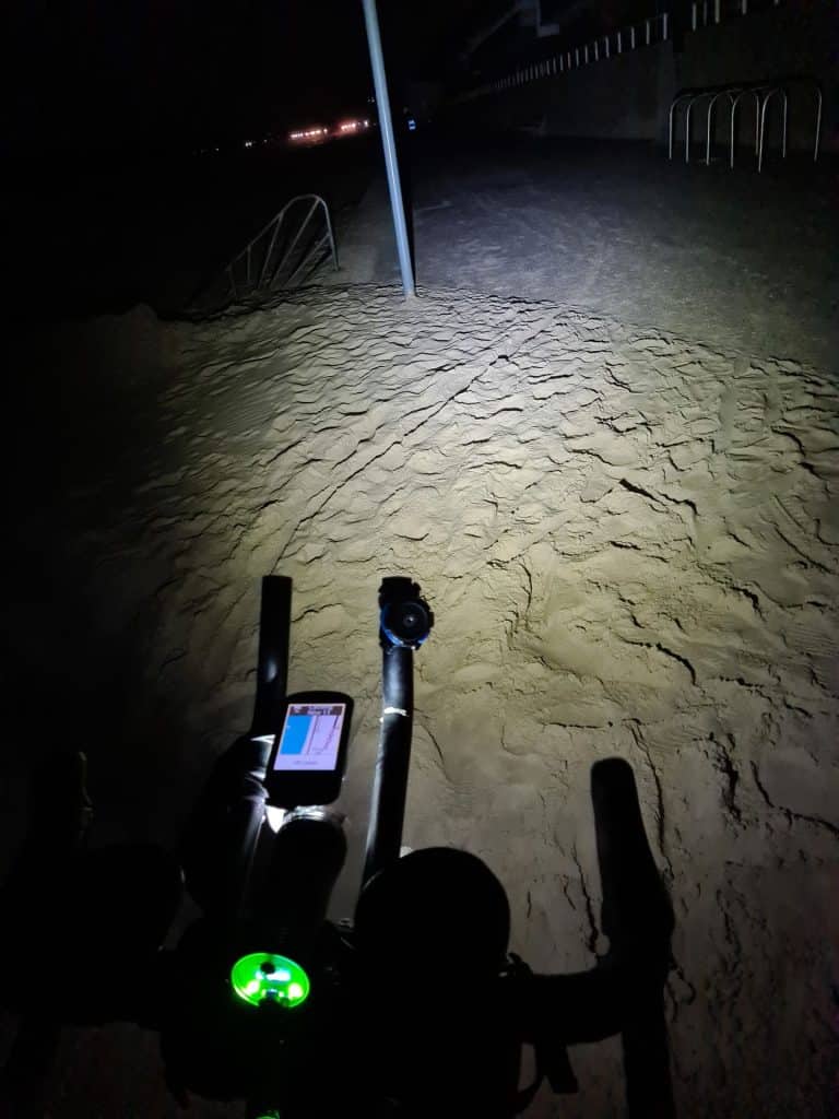
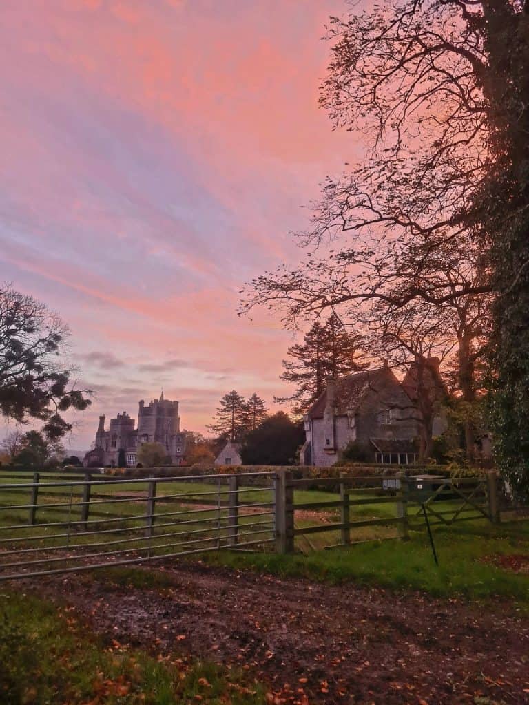
4th moonrakers & sunseekers for me, & the 1st dry one with excellent views of the moon & a brilliant sun rise, it was more like riding in April than November ?. A massive thanks to will & all his helpers on a truly magical night.
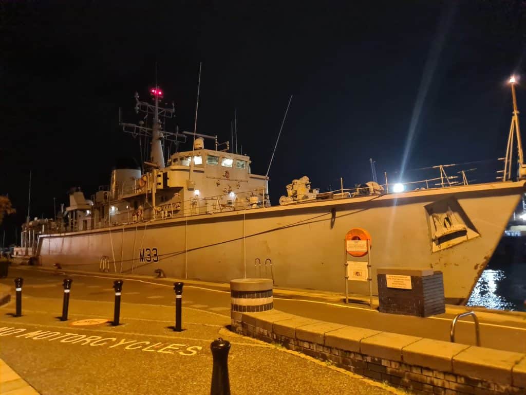
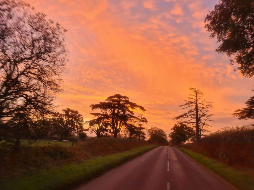
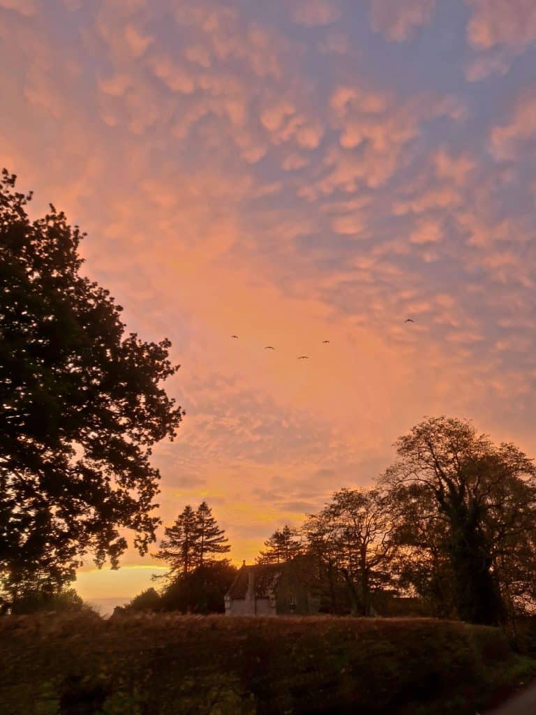
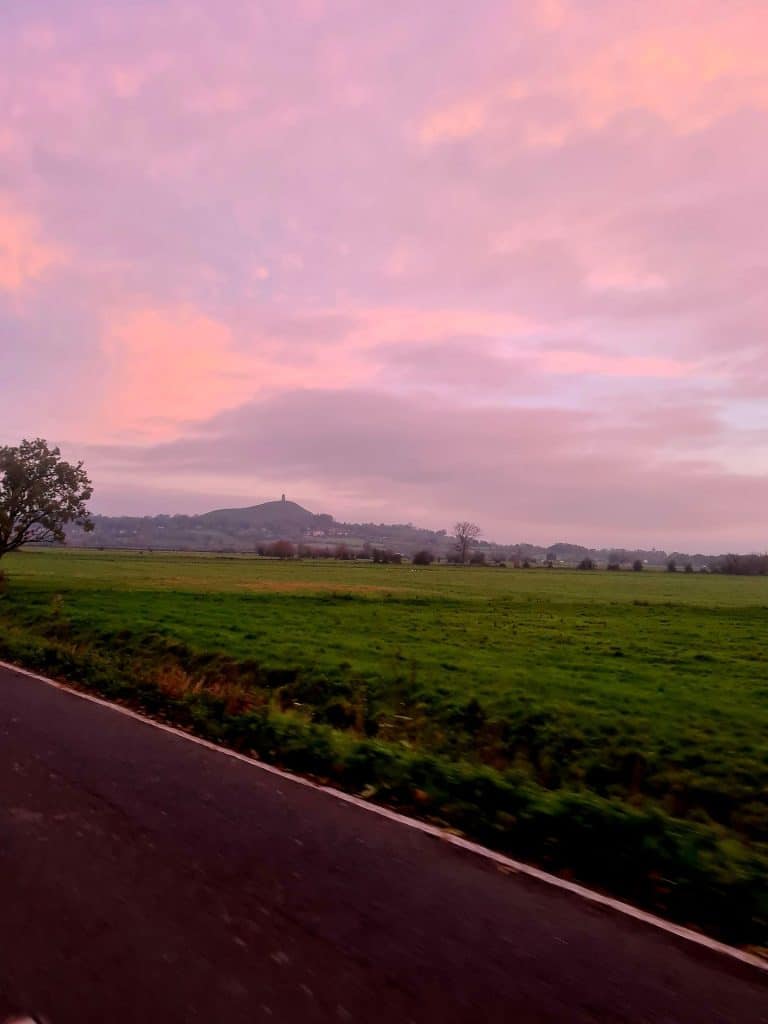
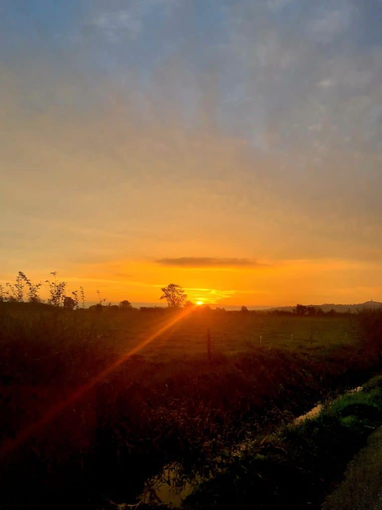
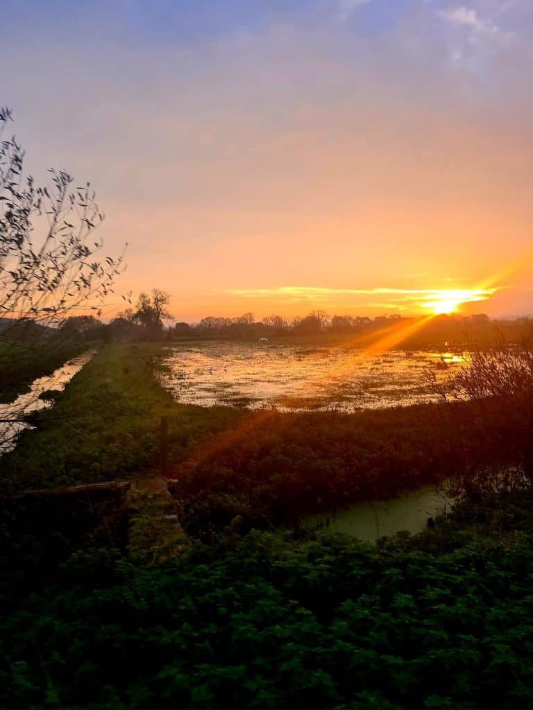
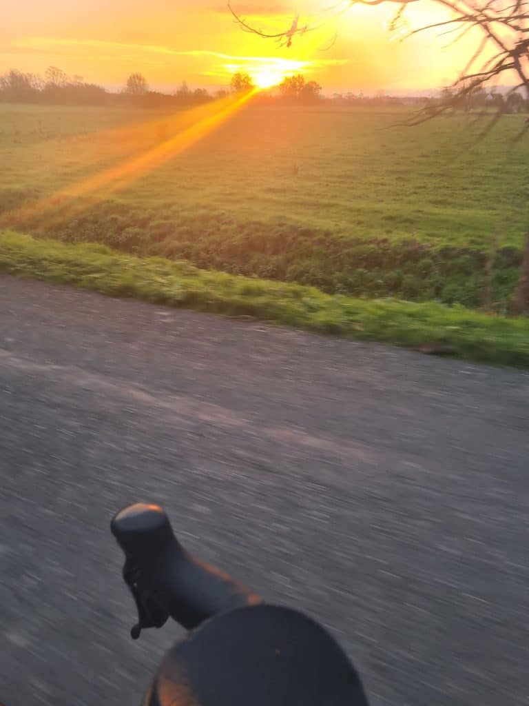
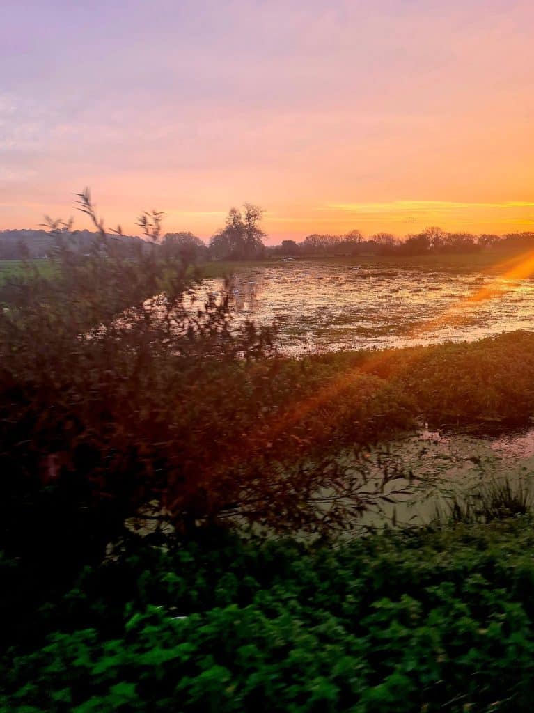
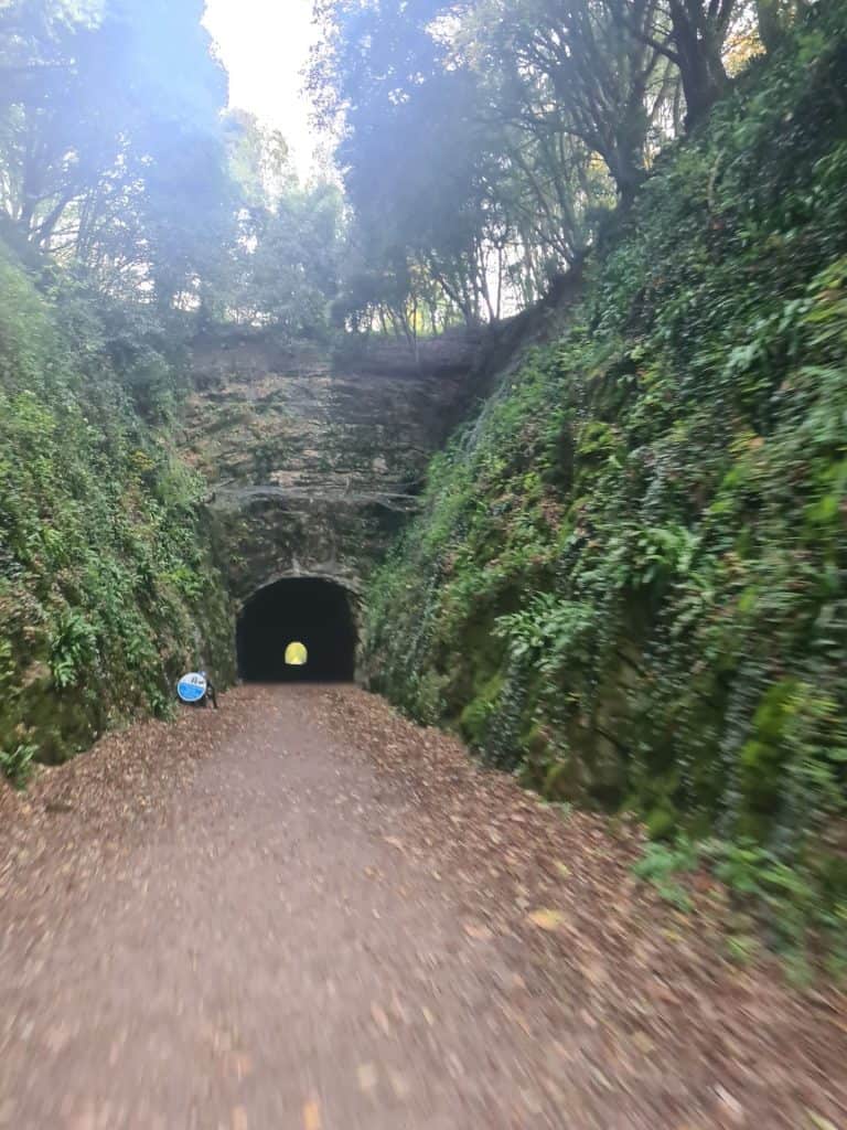
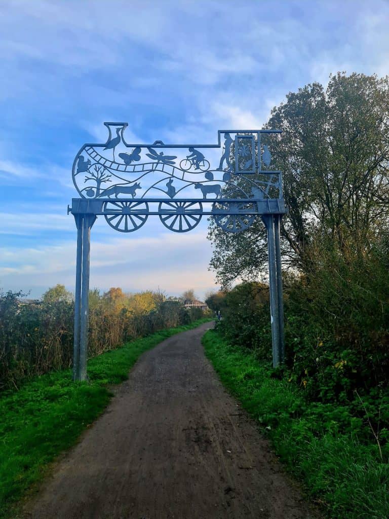

Epic!
From: https://bgb2022.blogspot.com/
See for all the photos.
The challenge – to ride from Bristol, to Glasgow, and back again, in under 14 days, organised by the infamous Will Pomeroy aka “Wills Hills”. Garmin proudly announced there were 125 climbs on our route. I can assure you it was nearer 1,250….
The route also included a number of sections of “gravel” just for added pleasure.
Total route 1700km, with 27,000m of climb – about 3.5 times up Everest. At times it felt like riding up Everest would have been the easier option.
I started this event last year, sadly a quite spectacular and somewhat traumatic dose of food poisoning put and end to it three days in. The trauma also seemingly deleted my memory of just how fecking hard this event was, and the relentless need to keep moving forward no matter how bad the suffering gets, I started it this year with memories of mooching along the lanes singing tra la la la la.
I’d aimed to do the course in ten days.
Stage one: Bristol to Newtown: South Wales misery: 164km, 3,000m of ascent
Well, at least the 3km to the start line were easy… The legs were fresh, and unlike last years torrential rain it was a lovely day, a relaxed first couple of hours of cruising along, over the bridge and into….. the misery of riding in South Wales…. sharp Up, sharp down, around the corner, sharp up, sharp down, repeat all day. Was it really this hard last year???
Stage two: Newtown to Chester: North Wales bonus savagery: 137km, 2,700m – including Wayfarer
Audaxes are meant to be audacious. Some riders even had the audacity to finish the ride last year, so Wills Hills dutifully responded from changing it in his words from “Hard” to “HardMAX” and today a right treat was in store for us, new to this years course – Wayfarers – a 12km section of “gravel” that seemed to take about 17 hours to complete – just utterly battering the bike and the body. Walking most of it, riding tiny sections. Sense of humour was still intact but man-o-man what a day. Battered by the end of the day. All sense of tra de la de la now firmly lost.
Some lovely memories of parts of north wales that I’ve ridden in many times before, including some special memories around lake Vyrnwy.
I take lots of photos when I’m in a happy place. North Wales is always a happy place for me – today lots of photos were taken, including the gem of a track over Wayfarers…
Stage three: Chester to Bainbridge: The awkward third date: Yorkshire “Gravel…” 170km, 2,500m – including Cam High Rd
Through Manchester / Liverpool suburbia and out into Ribble, the spiritual father of my bike (A Ribble) and past the scene of last years crime – the guilty party being a fish sandwich at the Ribblehead inn. More deeply joyous “Gravel” today – the Cam High Road which I’d ridden last year – last year I was very new to gravel and this section smashed me to pieces. This year, with a bit more experience, it smashed me to pieces… (just a tiny bit less).
I always find the third day on any trip especially hard, the body simply isn’t used to the constant battering and today, well, it all got a bit too much for me – I needed a bit of a lie down and a cry in a field for a bit. Everything hurt, and fatigue was coursing through the body. Today the hoped for 10 day adventure became “10-ish days…”. Realistically 10 days was achievable, but would have been utterly miserable, and whilst I’m happy to have misery on the bike that’s not where my mindset was for this trip. 9/10 suffering was fine, 10/10 misery was not.
Stage 4: Bainbridge to Kielder: Anyone for an eye test? 135km, 2,700m of climb.
Through Barnard Castle and past the infamous Specsavers. Barnard Castle was also as far as I got last year before things became “quite spectacular” with my food poisioning – its also now into parts of the country less known to me – the very remote northern parts of England – truly special places with so few visitors. My legs have officially left me now. This is going to be one long tough trip, with a long long way to go yet.
Breakfast of champions
Stage 5: Kielder to Galloway: Wind scale 11/10 148km, 1,830m climb.
One of the hardest and in parts most dangerous days I’ve had on a bike – at best a constant block 25 to 30mph headwind down in the valleys, and then climbing over the passes was truly scary – being blown across the road. I’m no stranger to crosswinds, and I’m used to managing issues like this out in hills and mountains but this was proper scary – many many miles from anywhere, unable to ride safely, and not really able to even walk with the bike. For at least an hour or so I was considering this as ride-ending, it just wasn’t safe – but mercifully once the hill was crested there was a bit more shelter, and slow progress was made.
Into Scotland at the beginning of the day, seems to have taken forever to get here, and still a long long way to go.
Stage 6: Galloway to Glasgow: Please make the wind stop… 145km, 2,100m of climb
Through Kielder forest – on actual proper gravel! Properly remote now, just no-one around apart from the millions of birds, sheep and vast swathes of destruction from storm Arwen. Yet another death march to start the day today, battering on into the same headwind to the very remote Glentrool, the most westerly part of the route and a merciful 90 degree turn north bringing some respite from the relentless hard work, finishing the day in Glasgow, the turn point of the trip.
Stage 7: Glasgow to Carlisle: Progress! 180km, 1,400m of climb
A mercifully easier day, with little puffs of tailwind, flying all the way back into England. Still a long way to go on this trip but felt so good to make so much distance in one day, and nice to spin the legs out too.
Stage 8: Carlisle to Lancaster: And…. Hardknott 162km, 2700m of climb
Hardknott and its evil twin sister Wrynose strike fear into even experienced cyclists. Its just nasty, really really nasty, at the best of times. Despite several attempts on a racing bike with no weight on fresh legs I’ve never got up it without stopping / walking a bit – After 1,200km, and on a fully laden adventure bike, its well, never going to happen. It didn’t happen for me anyway – it did happen for someone I was riding with, and a few tears were shed at the top – a truly astonishing performance.
Stage 9: Lancaster to Bakewell: 158km, 3,400m climb
I do love Bowland, it’s a really special part of the country – as pretty as the Dales, Moors but never really visited by tourists, so lovely and quiet and peaceful. It is however a bit of a pain in the ass to cycle through – one of those places where you feel like you will never escape….
Today also had the added delight of yet more “gravel” – the utterly unrideable Salters pass, yet again what felt like several hours of walking and misery, battering the bike and body. At least the views were good though….
Still feeling a long way from home, a bit of a quiet soldering on type of day.
Stage 10: Bakewell to Mickleton: Are we nearly home yet? 162km, 1,700m climb
A hard and frustrating start to the day, trying to escape the Dales, before finally coming out into the flatlands. Contemplation was briefly had at the through of pressing on into the night and finishing inside the initial 10 day target – but whilst the mind said yes, the body firmly said no – so so incredibly tired now.
Stage 10 (ish) Mickleton to Bristol: Please no more misery…. 110km, 1,700m climb
Just the Cotswolds to go now, way harder than they should have been. The mind wanted to be back in Bristol but the hills were once again relentless, taking several hours before finally escaping. Annoyingly I finally rediscovered my legs today, they had been awol since day three, and decided to finally feel perky again a week later, and only 5 hours before the end….. And the end, along with added bonus Bristolian hipster unicyclist, finally arrived.
Pretty to look at. Less pretty to ride through with 1,600km in your legs.
It was a truly wonderful adventure, full of animals, birds, remoteness, peace, block headwinds, savage “gravel”, special people, and Wills Hills whisky and pizza at the end. I’m truly deeply content with having done this as a 9/10 adventure rather than 10/10 misery – and I’m very tempted to do the more aggressive 7 day version of this next year. Humbling also is Andy, who went round the course in 5 days. Yes, half my time. And I ain’t no slouch…
Until next time – much love xx.

- This event is run in accordance with the event type's terms & conditions and insurance cover provided by the respective body.
- Entries are taken off this site and your personal details handled there.
You are attending this event.
The following ride details are currently:
Pending - all specifics are usually updated the 5th day before the event.
- Please flick through the following tabs fully and make any preparations before the event.
- Route files & links will be found under the 'Route' tab.
- The event/route specific information will be finalised usually the Monday before the event and you will get an email reminder 3 days prior from [email protected] - add it to your address book to save any disappointment.
- Should you be unable to attend the event I have enabled cancellation from 'My Bookings'. This will aid me in keeping controls informed as to how many to expect and also reduce wastage when printing the brevet cards. Remember there is no option to refund or transfer if you are unable to attend.
- You will receive your brevet card at the start. Should you start the ride and be unable to finish my phone number is within; please drop me a text with your full name to let me know you won't be finishing so volunteers and myself aren't waiting around longer than necessary at controls and the finish.
- Please use 'Enquires' link above for any queries.
New to audax? Have a look at Audax UK's About for an overview & FAQs for commonly asked questions.
- Until the route is finalised the interactive map above will give you an idea of where you are going.
- It is advisable to study the route notes prior to the event for further details; especially if you are just using a GPX breadcrumb trail to navigate. These are also the 'cuesheet' within the RWGPS route; zoom the map to your desired level, click on a cue and it will focus the map at that cue.
- Every effort is made to identify road closures before the event and provide alternatives where necessary; however I can not account for any emergency closures that are required.
- A variety of surfaces may be encountered, some may be as smooth as a baby's bum, others potholed nightmares, or somewhere in between; if any unmetalled sections are used this will be noted in the Event Info above and now visible as 'unpaved' within RWGPS.
- I do my utmost to select low traffic routes but there may be times busier sections are required.
- Mudguards aren't mandatory but if you can fit them why wouldn't you?
- I would always recommend a set of lights as you never know what could happen.
- Similarly consider carrying 2 space blankets; they cost nothing, are tiny, and can keep you and an other warm should the unfortunate happen.
EXTRA DETAILS:
Usually updated the 5th day before the event - the event, route and file (other than 'Key') links will be dead links until this time.Route Files:


CSV route notes - these can be edited in any spreadsheet software.

PDF route notes - a version with maps is available in linked RWGPS route (no account necessary to use the official PDF - use 'More v') or the event.

GPX with control waypoints - if re-uploading to an online planner please make private so as not to confuse others in the future - use this tool to split at waypoints and/or simplify.
RWGPS Links:

RWGPS Event - at least a free account needed but you will get full premium features, including offline maps & voice nav for the app, regardless of your subscription level. To sync to your device (Wahoo, Garmin Edge) you need to join this first.

RWGPS Route - no account needed but you will lack a few advanced features such as early turn warnings.
See the RWGPS App for my tips to use your phone for navigation and maximising battery life.
Troubleshooting:
- Can't copy the RWGPS route to your account? I have disabled this so should any changes be necessary there is the one correct version.
- I do not provide technical services for your device having never used anything other than the RWGPS app.
- Can't add it to Garmin Connect? It isn't an activity. Transfer it to your Garmin via USB.
- Can't send to your device? Join the RWGPS event.
EXTRA DETAILS:
Usually updated the 5th day before the event.Start:
Please arrive at least 10 minutes before the depart time to collect your brevet card.
Whapping Wharf - opens new tab for map. Whapping Wharf, Museum St, Bristol, BS1 6UD
Access:
- Bike - Centrally located and easy to get to.
- Car - Follow signs for the 'M Shed' from most major routes in to the city.
- Train - A short distance from Bristol Temple Meads.
Parking: Car Park - Various local car parks and on street parking - PAID. Be aware these are within Bristol's CAZ - more details here.
Food & Drink: Food & Drinks available. The start is adjacent to New Cut Coffee. Unless specified otherwise above.
Accommodation:
- Bristol YHA is a short distance away.
- Local Hotels.
Finish:
As above. - opens new tab for map & a few details.
Route Controls:
Usually updated the 5th day before the event.
This is what 'audax' is all about. Travelling between controls to collect proof of passage (PoP) to prove you have cycled the distance. The above controls are found in your brevet card, the route notes, as POIs with the route, and waypoints with the GPX. Your brevet card it to be filled out as you progress around the route. PoP is obtained in several ways. It is highly recommended you carry a pen or pencil to fill your brevet card as you go; if it is a long event numbering any receipts to correspond with the control number will save you time later, then keeping them in order is next level!
Types of control:
- CONTROL - a place or venue where you obtain PoP which can be done in several ways. You will be able to get food and/or drink, also WC will be available.
- Manned - a volunteer or venue member of staff will stamp your card providing PoP. All controls are thus unless specified as...
- Free - you must obtain PoP from that place that has a time and date, usually a receipt from a cafe, shop or ATM.
- INFO - a question found in your brevet card that is relevent to the location needs to be answered and recorded.
- CHECKPOINT - similar to a control but there may not be any facilities present.
- SECRET - now that would be telling wouldn't it!
USING YOUR PHONE & RWGPS APP:
I use the RWGPS app on my phone to navigate audax events by using spoken cues, I also use it to route check and proof my route notes. This IMHO is the best of all worlds. I don't need to look at a screen (but I can check if I want), I get clear directions when needed (you may need to get used to my shorthand which gets spoken as such), I get a warning if I'm off route, the battery lasts a lot longer than constantly using the screen; especially nowadays as phone batteries are getting bigger plus many are able to rapid charge in a short amount of time. All you need is a good case and mount for inclement weather.
- Install the app.
- Join the event.
- Go to the route.
- Send to device.
- Open app and confirm download.
- In settings (exact location varies depending on iOS or Android) to optomise for best battery use:
- Logging - adjust interval: every 10s is best for the battery, logs your ride but won't get you any KOMs; every 1s uses 10x more battery power to write data but may get you a KOM if you pedal quick.
- Navigation - Spoken alerts ON | Off-course alerts ON | others at your discretion.
- Handlebar mode ENABLED - this will keep RWGPS above any screen lock so you can recall it if needed by pressing power button or similar.
- Handlebar mode - Screen OFF for cues | Proximity Wake OFF (otherwise changes in light will turn the screen on) | Keep screen on NEVER.
- Offline mode ENABLED - when you start riding.
- Better still use flight/aeroplane mode whilst riding.
- You can adjust the text-speech settings via your phone settings; the type of voice, playback speed etc.
Most of the battery drain on a phone is from the screen. By using voice commands you eliminate this but can still view the map if needs be. The second biggest drain whilst cycling is the phone itself searching for a signal as you move between cell towers; putting the phone into flight/aeroplane mode whilst moving solves this problem; you can easily turn data back on to #tag that #CAKE at the next stop!
ANDROID:
Make sure battery optimisation is turned off otherwise Android will recognise RWGPS as an excessive battery drain and can limit its functionality. This will be particularily evident if you stop for a bit without GPS signal then continue; the app will appear to be functioning correctly but Android will limit it and data can be lost from the stop point until the app is restarted. There may be a similar feature in iOS.
- Settings >Apps.
- Find RWGPS and expand Advanced >Battery.
- If it says optomised then select and wait for all apps to load.
- Make sure the apps displayed are 'All apps', find RWGPS and select.
- Select 'Don't optimise'. Exit settings.