WHEN: +iCal
Sat 19th September 2026 07:30 - 21:50WHERE:
Fishponds Fish Bristol & Bath Railway Path, nr Hockeys Ln Fishponds, BS16 3RX| Type: BR |  |
| Award Distance: 200 | Total Distance: 215km |
| Duration: 14h20 | Speeds: 15-30kph |
| Climb: 1892m | AAA: 0 Rainbow Flat |
BRIEF:
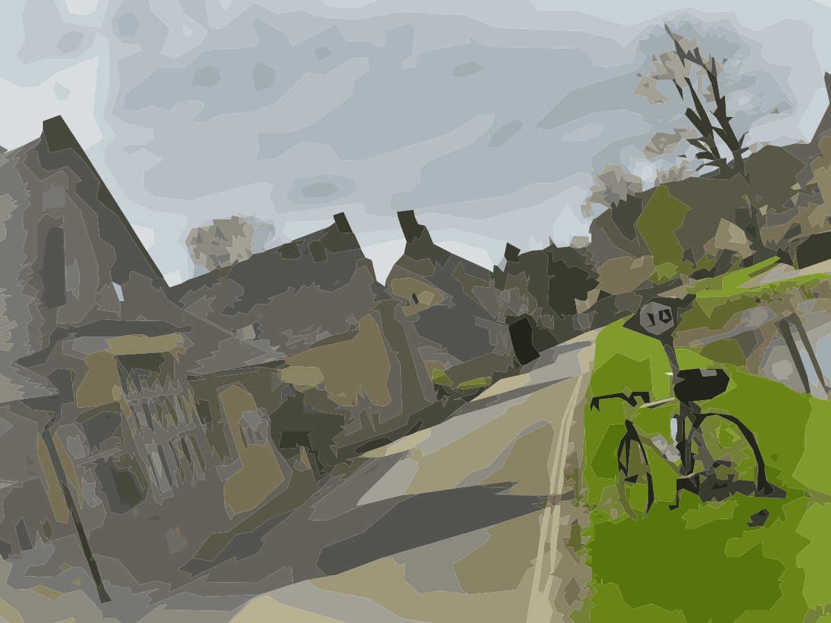
Tour seven of the Wiltshire white horses and maybe catch a glimpse of an eighth! A variety of Wiltshire lanes and some gravel as well as the Cotswolds! Free and cafe controls and a lovely descent to the outskirts of Bristol.
This ride is part of the AUK 50:50@50 initiative! Women and girls are BOGOF email organiser once you’ve entered.
Tour seven of the Wiltshire white horses and maybe catch a glimpse of an eighth! Head out of Bristol and through the eerie Coombe Down tunnel. A variety of Wiltshire lanes and some gravel as well as the Cotswolds! The route has a couple of gravel sections which are fine on a road bike. You also get to go down the fantastically named Treacle Bolly to see the elusive Marlborough white horse. Free and cafe controls and a lovely descent to the outskirts of Bristol.
Like or loath* it? Log in to let others know.
What others think.
Lovely route, spoilt only by poor road surfaces
The route takes some quiet roads south through some beautiful hills. The only issue is that the road surfaces are sometimes bad, or even very bad, and there was still lots of water on some of them despite it not having rained for 2 weeks. The organisation was spot on.



Weather and hills organised by Will
Another cracking route and event organised by Will. Weather was also well managed although I was over dressed. Lots of challenging Wills Hills and new roads to me.


Chasing after the Sorcerer
Well done Will. What an epic event chap. A hard ride but ultimately rewarding.
Many Thanks Si

My First 500Km - took a while to sink in what happened
With only 2x300Km under my belt and only been riding for 3 years I was a bit nervous of tackling this 510Km in middle of winter but I like the cold so though hell sign up give it a go, my motto is always push yourself you’ll be surprised. I chose to start the ride 10Km from where I live near Henlow on route which was just under half way from the start. It was a still cold grey day. It was also my first ride on the new saddle! Madness you should say but the brooks cambium C15 cutout was fab no complaints. Nice easy flat ride to Cambridge and St Ives just as it got dark. Getting very cold it was hovering about 3 deg C glad I had prepared with lots of layers. I took it real easy with no idea if I could ride this distance in one go let alone make the time. Colder and darker it got through familiar roads to Northampton and then the fog hit. With visibility only about 10 meters it was a slow ride through to Tewksbury and a welcome 1hr sleep was taken somewhere in the Cotswolds at a very clean bus stop. At this point I was way behind schedule and headed for Bristol via fast roads for breakfast at Will’s I hoped for 8:30am but arrived somewhere around 10:45am with very tired legs. Leaving Bristol I was thinking no way I can do another 170Km before the time limit so said hell to the pacing and went as hard as I could. Swindon and Oxford passed, Oxford was very pretty with the Christmas lights. A few busy roads here and there but pushed on as fast as I could, legs starting to tire. Finally I arrived where i started and stopped the Garmin wondering did I do it. In summary the Christmas lights were great it, be prepared for a lot of darkness 4pm through to 7am. Doing it at a different start time meant a lot of the scenic parts were pitch black and I hit a lot of busy traffic when I should not have. Lots of garages and stops to refuel on route. But amazing route taking in many counties and scenic townsvillages highly recommended. Took a few days to sink in I’d done 528Km in one go, but now very chuffed and looking back on it thoroughly enjoyed it. And yes I did make it my Brevet card arrived back today, I have 1min 30 seconds to spare! thank god I sprinted the last 3km. LEL next I just got a place = gulp. Oh watch out for the cows they don’t move out the way! thx again Will for organising.


My First Audax
Cracking ride, great route, fantastic organisation, first introduction to Audax, great experience, nice to meet Will. Thanks for the coffee and cake at the end, was pretty spent by then, got me through the ride home to Clevedon. Thanks

- This event is run in accordance with the event type's terms & conditions and insurance cover provided by the respective body.
- Entries are taken off this site and your personal details handled there.
You are attending this event.
The following ride details are currently:
Pending - all specifics are usually updated the 5th day before the event.
- Please flick through the following tabs fully and make any preparations before the event.
- Route files & links will be found under the 'Route' tab.
- The event/route specific information will be finalised usually the Monday before the event and you will get an email reminder 3 days prior from [email protected] - add it to your address book to save any disappointment.
- Should you be unable to attend the event I have enabled cancellation from 'My Bookings'. This will aid me in keeping controls informed as to how many to expect and also reduce wastage when printing the brevet cards. Remember there is no option to refund or transfer if you are unable to attend.
- You will receive your brevet card at the start. Should you start the ride and be unable to finish my phone number is within; please drop me a text with your full name to let me know you won't be finishing so volunteers and myself aren't waiting around longer than necessary at controls and the finish.
- Please use 'Enquires' link above for any queries.
New to audax? Have a look at Audax UK's About for an overview & FAQs for commonly asked questions.
- Until the route is finalised the interactive map above will give you an idea of where you are going.
- It is advisable to study the route notes prior to the event for further details; especially if you are just using a GPX breadcrumb trail to navigate. These are also the 'cuesheet' within the RWGPS route; zoom the map to your desired level, click on a cue and it will focus the map at that cue.
- Every effort is made to identify road closures before the event and provide alternatives where necessary; however I can not account for any emergency closures that are required.
- A variety of surfaces may be encountered, some may be as smooth as a baby's bum, others potholed nightmares, or somewhere in between; if any unmetalled sections are used this will be noted in the Event Info above and now visible as 'unpaved' within RWGPS.
- I do my utmost to select low traffic routes but there may be times busier sections are required.
- Mudguards aren't mandatory but if you can fit them why wouldn't you?
- I would always recommend a set of lights as you never know what could happen.
- Similarly consider carrying 2 space blankets; they cost nothing, are tiny, and can keep you and an other warm should the unfortunate happen.
EXTRA DETAILS:
Usually updated the 5th day before the event - the event, route and file (other than 'Key') links will be dead links until this time.Route Files:


CSV route notes - these can be edited in any spreadsheet software.

PDF route notes - a version with maps is available in linked RWGPS route (no account necessary to use the official PDF - use 'More v') or the event.

GPX with control waypoints - if re-uploading to an online planner please make private so as not to confuse others in the future - use this tool to split at waypoints and/or simplify.
RWGPS Links:

RWGPS Event - at least a free account needed but you will get full premium features, including offline maps & voice nav for the app, regardless of your subscription level. To sync to your device (Wahoo, Garmin Edge) you need to join this first.

RWGPS Route - no account needed but you will lack a few advanced features such as early turn warnings.
See the RWGPS App for my tips to use your phone for navigation and maximising battery life.
Troubleshooting:
- Can't copy the RWGPS route to your account? I have disabled this so should any changes be necessary there is the one correct version.
- I do not provide technical services for your device having never used anything other than the RWGPS app.
- Can't add it to Garmin Connect? It isn't an activity. Transfer it to your Garmin via USB.
- Can't send to your device? Join the RWGPS event.
EXTRA DETAILS:
Usually updated the 5th day before the event.Start:
Please arrive at least 10 minutes before the depart time to collect your brevet card.
Fishponds Fish - opens new tab for map. Bristol & Bath Railway Path, nr Hockeys Ln, Fishponds, City of Bristol, BS16 3RX
Access:
- Bike - It is on the Bristol & Bath Cycle Path
- Car - M32 J2 - follow signs to Fishponds, at Morrisons traffic lights turn right and it is opposite Morrisons Car Park entrance.
- Train - Bristol Temple Meads - follow NCN4 becoming Bristol & Bath Railway Path to Fishponds
Parking: On street near by - Most residential streets in the vicinity don't have parking restrictions. Morrisons Car Park MAY be available - check event specifics.
Food & Drink: Food & Drinks available. Depending on the weather the coffee van MAY be present. Unless specified otherwise above.
Accommodation: YHA is located in central Bristol about 20min cycle using Bristol & Bath Railway Path. For local accommodation see here.
Finish:
The All Inn, 1 Staple Hill Road, Bristol. BS16 5AA - opens new tab for map & a few details.
Route Controls:
Usually updated the 5th day before the event.
This is what 'audax' is all about. Travelling between controls to collect proof of passage (PoP) to prove you have cycled the distance. The above controls are found in your brevet card, the route notes, as POIs with the route, and waypoints with the GPX. Your brevet card it to be filled out as you progress around the route. PoP is obtained in several ways. It is highly recommended you carry a pen or pencil to fill your brevet card as you go; if it is a long event numbering any receipts to correspond with the control number will save you time later, then keeping them in order is next level!
Types of control:
- CONTROL - a place or venue where you obtain PoP which can be done in several ways. You will be able to get food and/or drink, also WC will be available.
- Manned - a volunteer or venue member of staff will stamp your card providing PoP. All controls are thus unless specified as...
- Free - you must obtain PoP from that place that has a time and date, usually a receipt from a cafe, shop or ATM.
- INFO - a question found in your brevet card that is relevent to the location needs to be answered and recorded.
- CHECKPOINT - similar to a control but there may not be any facilities present.
- SECRET - now that would be telling wouldn't it!
USING YOUR PHONE & RWGPS APP:
I use the RWGPS app on my phone to navigate audax events by using spoken cues, I also use it to route check and proof my route notes. This IMHO is the best of all worlds. I don't need to look at a screen (but I can check if I want), I get clear directions when needed (you may need to get used to my shorthand which gets spoken as such), I get a warning if I'm off route, the battery lasts a lot longer than constantly using the screen; especially nowadays as phone batteries are getting bigger plus many are able to rapid charge in a short amount of time. All you need is a good case and mount for inclement weather.
- Install the app.
- Join the event.
- Go to the route.
- Send to device.
- Open app and confirm download.
- In settings (exact location varies depending on iOS or Android) to optomise for best battery use:
- Logging - adjust interval: every 10s is best for the battery, logs your ride but won't get you any KOMs; every 1s uses 10x more battery power to write data but may get you a KOM if you pedal quick.
- Navigation - Spoken alerts ON | Off-course alerts ON | others at your discretion.
- Handlebar mode ENABLED - this will keep RWGPS above any screen lock so you can recall it if needed by pressing power button or similar.
- Handlebar mode - Screen OFF for cues | Proximity Wake OFF (otherwise changes in light will turn the screen on) | Keep screen on NEVER.
- Offline mode ENABLED - when you start riding.
- Better still use flight/aeroplane mode whilst riding.
- You can adjust the text-speech settings via your phone settings; the type of voice, playback speed etc.
Most of the battery drain on a phone is from the screen. By using voice commands you eliminate this but can still view the map if needs be. The second biggest drain whilst cycling is the phone itself searching for a signal as you move between cell towers; putting the phone into flight/aeroplane mode whilst moving solves this problem; you can easily turn data back on to #tag that #CAKE at the next stop!
ANDROID:
Make sure battery optimisation is turned off otherwise Android will recognise RWGPS as an excessive battery drain and can limit its functionality. This will be particularily evident if you stop for a bit without GPS signal then continue; the app will appear to be functioning correctly but Android will limit it and data can be lost from the stop point until the app is restarted. There may be a similar feature in iOS.
- Settings >Apps.
- Find RWGPS and expand Advanced >Battery.
- If it says optomised then select and wait for all apps to load.
- Make sure the apps displayed are 'All apps', find RWGPS and select.
- Select 'Don't optimise'. Exit settings.