WHEN: +iCal
Sun 30th May 2027 09:00 - 17:30WHERE:
CataColours @ Cafe 5 Bruce Rd, Easton Bristol, BS5 6HH| Type: BP |  |
| Award Distance: 100 | Total Distance: 102 | 61 | 58km |
| Duration: 8h30 | Speeds: 12.5-25kph |
| Climb: 1041 | 605 | 450m | AAA: 0.00 Rainbow Flat |
| Entry: £0.00 Closes: 29/05/27 @ 15:00 | |
 Enquiries Enquiries | |
BRIEF:
Ride4Red – a memorial ride for our amazing son using a route that he designed. A bit of Cotswolds, some Avon Valley, the Kennet & Avon tow path and 2Tunnels & B&B Railway Path
Rufus Odin Borneo Pomeroy
13th August 2011 – 28th May 2024
Ride4Red in memory of our amazing son. I don’t use the word amazing lightly, he truly was.
Riding was his way of escaping the sensory overload of city life. His love of the outdoors stemmed from this to include hiking, hill walking, wildcamping and a love of butterflies & birds of prey which he became an expert in.
Palmarès
- @2 mastered his balance bike.
- @2 1/2 on his balance bike around Bristol Docks.
- @3 3/4 towed my signing trailer in the New Forest as I was working, and again the following year.
- @4 using a FollowMe tandem our first cycle camping trip.
- @4 3/4 first validated 50km audax.
- @5 first cycle camping trip solo.
- @6 first to claim the new AUK Brevet 250 award (5x 50km).
- @6 3/4 first solo 100km.
- @7 & 20d finished LEJOG solo. He is the youngest to have done so on his own bike but didn’t want the recognition – during this time his interest in butterflies & birds of prey was piqued.
- – we also climbed Ben Nevis, and over the next year Snowdon, Scafell Pike and the following summer…
- @7 1/2 first 100miles.
- @8 MIZMAL, the Irish equivalent of LEJOG where we celebrated his 8th at Malin Head.
- – we also climbed Carrauntoohill & Slieve Donard to achieve all the British Isle Nation’s highest peaks.
- @8 3/4 first 200km and beginning of off road adventures.
- @9 3/4 5 day hike from Weston Super Mare to Salisbury.
- @10 the Islands & Highlands off road – Golden & White-tailed eagles, Short-eared owls and a Hen harrier spotted.
- @10 1/2 rode Way of the Roses but off road – sat in a hide for an hour watching Barn owls a metre away in the Yorkshire Wolds, Hen harrier & Ring ouzel in Forest of Bowland.
- @11 rode East to West England along the Old Chalk Way and other off road paths – did 2 daily 15min transects of species and habitat.
- The day before his 12th birthday completed his first RRtY – a 200km ridden every month for 12 consecutive months.
- @12 1/2 lobbied his support worker and IT for a lunch time Minecraft Club at Redland Green School – this gave him and others a safe space with a purpose to get through the lunch break.
- @12 1/2 completely owning me on Belmont Hill!
- Posthumously reaching Everest Base Camp; the founder of 2Wish kindly took my Limpet shell with Red’s ashes embedded in on her trek.
- My Limpet now travels with me, close to the Red shaped hole in my heart.

Back in 2021 after Red completed his 4th 200km at the age of 9 I suggested he write a blog about it. I added some photos, gave him his own login details and left him to it. He made a start but then said he couldn’t be bothered, he may have been pranking me. Shortly after his death I discovered he did finish it so have a read, it is as he left it apart from the extra I’ve added at the bottom.
Ride in Peace Red X
Ride4Red 100km is a route that Red designed. We started it in September 2023 but I came off in the tunnel on the B&B railway path and injured my wrist. We never got to ride it together. It is a beautiful route taking in places we regularly rode. Do you accept his challenge?
There will also be two 60km options available:
- Castle Coombe and back – following the outward route of the 100km with the climb up onto the Cotswolds.
- Limpley Stoke and back – using the Bristol and Bath Railway Path & 2Tunnels on an out and back route stopping at the Angelfish. This is 99% traffic free and very similar to the first 50km route Red did when he was 4.
If you can’t make it how about doing your own challenge where ever you are in the world.
I’m so proud of him for coming up with this route, last year’s riders loved it, and I honour him by using it to raise money.
I’m hoping to set up an organisation/charity (need to figure which suits best) to empower parents of autistic children to get outdoors and do a bit of wild adventuring. The aim is to provide items to give the kids an interest in the wildlife around them, then for some garden camping before a ‘wild camp’ on a weekend hopefully in a nature rich area.
I was lucky that I was confident in doing this and saw how much Red flourished, so hope to pass my knowledge & skills on to other parents thus showing them that autism isn’t a limitation. Ultimately creating an ‘out of the box’ solution should other parents wish to set something up similar in their local area.
I had hoped to get this going autumn 2025 but to be honest my mental health took a nose dive at the end of that summer and I’ve been doing my best to just hang on. I’m getting there, grief therapy is helping, I know what I need to do first and hopefully that’ll be done towards the end of 2026 so I can put my effort into this.
My time for setting this up and running will always be free.
2025 I helped Felix Road Adventure Playground staff take a coach load of kids on a hike up Pen y fan; there was some grumbling on the way up but once at the top they loved it. This was put on with money raised from Red’s Funeral Memorial. 2026 I funded the same through some monies raised here and from the Barry Rides.
Any excess monies raised will be given to an organisation/charity(s) that Red would approve of.
2025 saw £6,540 raised split between the charity 2Wish & Redland Green School’s SEND department – specifically the Minecraft Club that Red instigated and The Extraordinary Club.
2026 saw £3,617 raised for my endeavour to get this off the ground so I have a good starting point.
Thanks to all who have supported thus far.
Any excess monies raised will be given to an organisation/charity(s) that Red would approve of.
Entry to the event is free (I will be covering the AUK event & GoFundMe processing fees) but you may add a donation (see above). A link will also be provided in the confirmation email, or cash can be taken on the day should you wish to do so.
On a personal note I thank Gary Harris of Gary Harris Cycles who has let me loose in his workshop – that is a form of therapy in itself. Hopefully he’ll be at Castle Combe again to do any tweaks that need to be done to riders bikes.
Booking:
Bookings are taken individually. Even though it is free, do please book so I can monitor overall numbers. There is also the option to cancel if you can’t attend which will greatly help me in number management.
Under 18s:
Under 18s are welcome and encouraged. Under 14s must be accompanied by an adult.
Please message me via the enquiry link above and I’ll provide a digital form that will need to be completed by their parent/guardian.
Description:
Heading off along the B&B Railway Path you will head north at Mangotsfield Station and head to Pucklechurch using the easier climb through Shortwood; there is an adjacent cycle path should you wish to use on the short section into Pucklechurch.
From here head up onto the Cotswolds edge at Hinton Hill. This is the most challenging climb of the day. For those that aren’t regular riders use your easiest gear; which can involve 2 feet…
Make your way to Castle Combe for the first stop at The Old Stables.
The 60km will then make a loop back to return via the way it came.
The 100km continues circumventing Chippenham to Lacock Bakery for the second stop. From here continue south past Chalfield House to Bradford on Avon.
Here you will pick up the Kennet and Avon tow path to to Dundas Aqueduct for the 3rd stop at The Angelfish before heading through Monkton Combe to the 2Tunnels and B&B Railway Path back to the finish.
Caution: The Kennet & Avon tow path is next to open water and is unpaved. It is part of the National Cycle Network and used regularly by other riders and pedestrians.
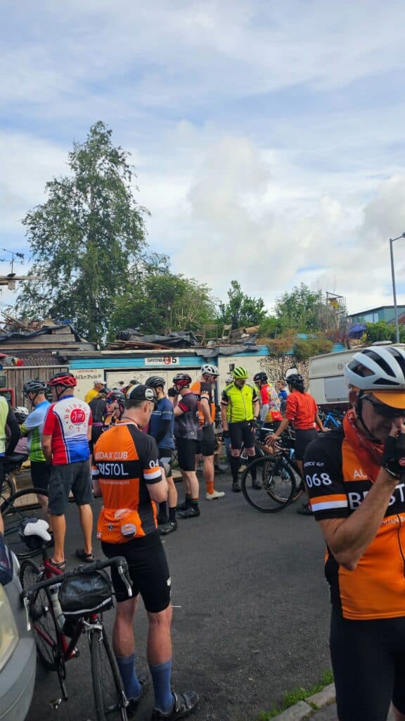
Event details: This is an unsupported event. There is no roadside collection. Though I hope to have Audax Club Bristol riders colourfully identified in their orange club kit who will be able to lend a hand and I will be riding along too. Gary Harris Cycles will hopefully have a mobile mechanic at Castle Coombe for any spares and small fixes. The route is self navigated but I provide an extensive route to be used with GPS devices and a paper based route sheet & map. There is also the option to use an app with a free account; there are full details on how to set this up for best battery management.
The map below shows all 3 routes ‘as one’ so if you view the elevation profile bear in mind the 100km is the first part, the next 60km the Castle Combe and back, and the last 60km Limpley Stoke and back.
Navigation:
Route notes and a variety of files/links will be available usually 5 days before the event. Considered the Gold Standard for AUK events!
The interactive map above is a guide, subject to change and not necessarily the final version. Toggle 'chart' for elevation & approx. slope %; now works in full screen too.
Type & Validation:
- The route is advisory - you just have to visit the controls and gain proof of passage within time limits where specified; there may be parts that you'd like to take a different route and that is entirely up to you; the time limits for the controls don't change!
- Validation: Instant - you get to take your validated brevet card home straight away at the end of the event.
Venue details:
Parking: No parking at venue. Residential streets are free parking. Otherwise consider Lyde Green P&R For full details see CataColours @ Cafe 5What others think.
Wow, what a day and what an eclectically diverse bunch.
What an utter privilege to have had this event made available to us, put on to give us something to do, and to have been able to turn out on the day. An extraordinarily creditable testimony to all parties: those who are no longer with us, those who press on in the face of grief soaked memories, those who support quietly in the wings and all the 140(ish) participants who can now spread the word of an outstanding event. Oh yes, not a bad effort with the weather Will; despite acknowledging that it is beyond your control.

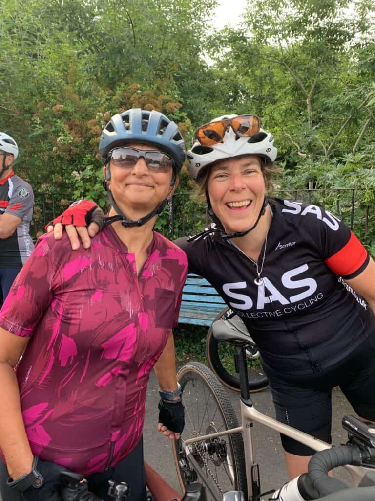
Fabulous first Audax experience
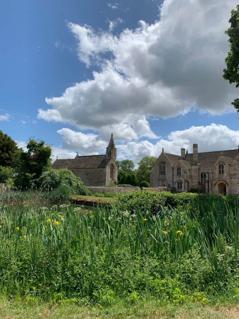
Excellent route and great camaraderie. Lovely Cotswold village stops and countryside. Lucky with the weather too – a prefect day of cycling. 🙏🚴🏽♀️

A fantastic route, a great range of surfaces
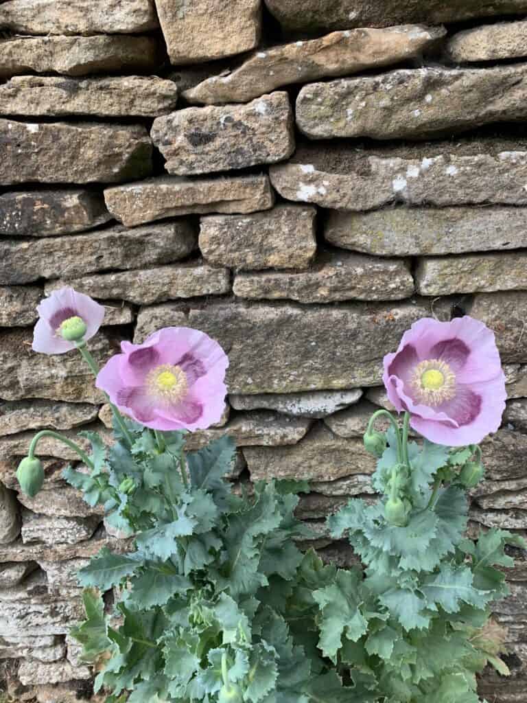
The Ride for Red 100km route is great. A good variety of surfaces and challenges on the route. Red was obviously a clever lad for designing this route. I loved it and all of the challenges he threw at us, not so much the climb at Hinton….. Thanks for a great ride Red and Will 👏👏💪👍

Like or loath* it? Log in to let others know.
Entries Closes: 29/05/27 @ 15:00 or when full.
First time entering on Pedalution:
- An account will automatically be created when you PROCEED TO PAYMENT.
- You will receive a registration email to validate your email and create a password; this will be required to access further event information found on this page.
- If you PROCEED TO PAYMENT then don't complete, or go back, you may encounter an error saying 'account already exists' or similar. Look for the password email to validate or use 'lost your password' found in the login area in the hamburger menu, and footer across the site or the sidebar on event pages.
- Information specific to this event and generic for the future will be stored in your account.
- You may delete your account at any time but if you do so before the event you remove yourself from the entry list.
- If you are U18 (or booking for an U18 rider) entry is free; please contact me direct so I can provide the relevent form and enter manually.
- Audax UK registered events are run in accordance with their Regulations and are covered by their insurance.
- Audax UK Temporary Membership (Subscription ) @ £3.00 is added until you confirm you are either an Audax UK Member (Subscriber) or Cycling UK member.
- Please make sure your AUK membership is up to date.
- Open events follow a similar format and insurance is provided by Audax Club Bristol's membership of Cycling UK.
- Once payment is completed you will receive an email from [email protected] and will be redirected back to a page saying what happens next.
JUST PRESS ONCE - booking confirmed will appear at the top of the form.
You are attending this event.
The following ride details are currently:
Pending - all specifics are usually updated the 5th day before the event.
- Please flick through the following tabs fully and make any preparations before the event.
- Route files & links will be found under the 'Route' tab.
- The event/route specific information will be finalised usually the Monday before the event and you will get an email reminder 3 days prior from [email protected] - add it to your address book to save any disappointment.
- Should you be unable to attend the event I have enabled cancellation from 'My Bookings'. This will aid me in keeping controls informed as to how many to expect and also reduce wastage when printing the brevet cards. Remember there is no option to refund or transfer if you are unable to attend.
- You will receive your brevet card at the start. Should you start the ride and be unable to finish my phone number is within; please drop me a text with your full name to let me know you won't be finishing so volunteers and myself aren't waiting around longer than necessary at controls and the finish.
- Please use 'Enquires' link above for any queries.
New to audax? Have a look at Audax UK's About for an overview & FAQs for commonly asked questions.
- Until the route is finalised the interactive map above will give you an idea of where you are going.
- It is advisable to study the route notes prior to the event for further details; especially if you are just using a GPX breadcrumb trail to navigate. These are also the 'cuesheet' within the RWGPS route; zoom the map to your desired level, click on a cue and it will focus the map at that cue.
- Every effort is made to identify road closures before the event and provide alternatives where necessary; however I can not account for any emergency closures that are required.
- A variety of surfaces may be encountered, some may be as smooth as a baby's bum, others potholed nightmares, or somewhere in between; if any unmetalled sections are used this will be noted in the Event Info above and now visible as 'unpaved' within RWGPS.
- I do my utmost to select low traffic routes but there may be times busier sections are required.
- Mudguards aren't mandatory but if you can fit them why wouldn't you?
- I would always recommend a set of lights as you never know what could happen.
- Similarly consider carrying 2 space blankets; they cost nothing, are tiny, and can keep you and an other warm should the unfortunate happen.
EXTRA DETAILS:
Usually updated the 5th day before the event - the event, route and file (other than 'Key') links will be dead links until this time.Route Files:


CSV route notes - these can be edited in any spreadsheet software.

PDF route notes - a version with maps is available in linked RWGPS route (no account necessary to use the official PDF - use 'More v') or the event.

GPX with control waypoints - if re-uploading to an online planner please make private so as not to confuse others in the future - use this tool to split at waypoints and/or simplify.
RWGPS Links:

RWGPS Event - at least a free account needed but you will get full premium features, including offline maps & voice nav for the app, regardless of your subscription level. To sync to your device (Wahoo, Garmin Edge) you need to join this first.

RWGPS Route - no account needed but you will lack a few advanced features such as early turn warnings.
See the RWGPS App for my tips to use your phone for navigation and maximising battery life.
Troubleshooting:
- Can't copy the RWGPS route to your account? I have disabled this so should any changes be necessary there is the one correct version.
- I do not provide technical services for your device having never used anything other than the RWGPS app.
- Can't add it to Garmin Connect? It isn't an activity. Transfer it to your Garmin via USB.
- Can't send to your device? Join the RWGPS event.
EXTRA DETAILS:
Usually updated the 5th day before the event.Start:
Please arrive at least 10 minutes before the depart time to collect your brevet card.
CataColours @ Cafe 5 - opens new tab for map. Bruce Rd, Easton, Bristol, BS5 6HH
Access:
- Bike - Easily accessible from the Bristol & Bath Railway Path
- Car - J2 or 3 of M32
- Train - From Bristol Temple Meads follow signs for the Bristol & Bath Railway Path
Parking: On street near by - No parking at venue. Residential streets are free parking. Otherwise consider Lyde Green P&R
Food & Drink: Food & Drinks available. Tea and coffee available to start, and Cata's wonderful cakes and snacks throughout the day on return. Unless specified otherwise above.
Accommodation: Bristol YHA is not too far.Bristol Hotels.
Finish:
As above. - opens new tab for map & a few details.
Route Controls:
Usually updated the 5th day before the event.
This is what 'audax' is all about. Travelling between controls to collect proof of passage (PoP) to prove you have cycled the distance. The above controls are found in your brevet card, the route notes, as POIs with the route, and waypoints with the GPX. Your brevet card it to be filled out as you progress around the route. PoP is obtained in several ways. It is highly recommended you carry a pen or pencil to fill your brevet card as you go; if it is a long event numbering any receipts to correspond with the control number will save you time later, then keeping them in order is next level!
Types of control:
- CONTROL - a place or venue where you obtain PoP which can be done in several ways. You will be able to get food and/or drink, also WC will be available.
- Manned - a volunteer or venue member of staff will stamp your card providing PoP. All controls are thus unless specified as...
- Free - you must obtain PoP from that place that has a time and date, usually a receipt from a cafe, shop or ATM.
- INFO - a question found in your brevet card that is relevent to the location needs to be answered and recorded.
- CHECKPOINT - similar to a control but there may not be any facilities present.
- SECRET - now that would be telling wouldn't it!
USING YOUR PHONE & RWGPS APP:
I use the RWGPS app on my phone to navigate audax events by using spoken cues, I also use it to route check and proof my route notes. This IMHO is the best of all worlds. I don't need to look at a screen (but I can check if I want), I get clear directions when needed (you may need to get used to my shorthand which gets spoken as such), I get a warning if I'm off route, the battery lasts a lot longer than constantly using the screen; especially nowadays as phone batteries are getting bigger plus many are able to rapid charge in a short amount of time. All you need is a good case and mount for inclement weather.
- Install the app.
- Join the event.
- Go to the route.
- Send to device.
- Open app and confirm download.
- In settings (exact location varies depending on iOS or Android) to optomise for best battery use:
- Logging - adjust interval: every 10s is best for the battery, logs your ride but won't get you any KOMs; every 1s uses 10x more battery power to write data but may get you a KOM if you pedal quick.
- Navigation - Spoken alerts ON | Off-course alerts ON | others at your discretion.
- Handlebar mode ENABLED - this will keep RWGPS above any screen lock so you can recall it if needed by pressing power button or similar.
- Handlebar mode - Screen OFF for cues | Proximity Wake OFF (otherwise changes in light will turn the screen on) | Keep screen on NEVER.
- Offline mode ENABLED - when you start riding.
- Better still use flight/aeroplane mode whilst riding.
- You can adjust the text-speech settings via your phone settings; the type of voice, playback speed etc.
Most of the battery drain on a phone is from the screen. By using voice commands you eliminate this but can still view the map if needs be. The second biggest drain whilst cycling is the phone itself searching for a signal as you move between cell towers; putting the phone into flight/aeroplane mode whilst moving solves this problem; you can easily turn data back on to #tag that #CAKE at the next stop!
ANDROID:
Make sure battery optimisation is turned off otherwise Android will recognise RWGPS as an excessive battery drain and can limit its functionality. This will be particularily evident if you stop for a bit without GPS signal then continue; the app will appear to be functioning correctly but Android will limit it and data can be lost from the stop point until the app is restarted. There may be a similar feature in iOS.
- Settings >Apps.
- Find RWGPS and expand Advanced >Battery.
- If it says optomised then select and wait for all apps to load.
- Make sure the apps displayed are 'All apps', find RWGPS and select.
- Select 'Don't optimise'. Exit settings.